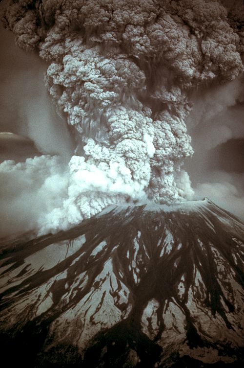
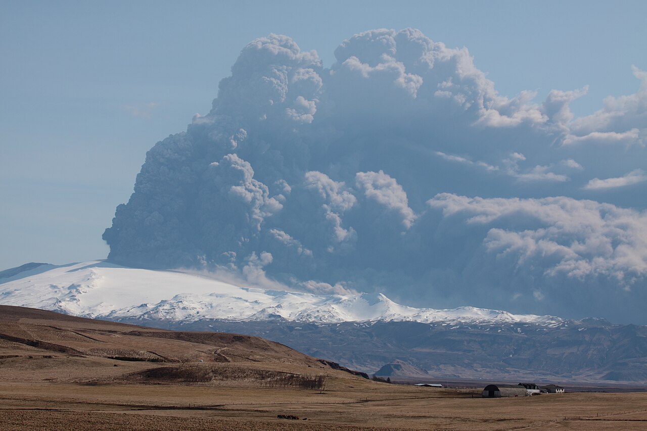
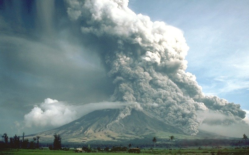
The eruption column of Mount Pinatubo on June 12, 1991, three days before the climactic eruption
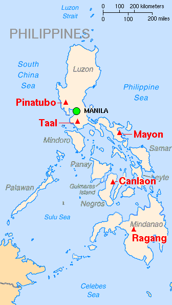
Mount Pinatubo is an active stratovolcano located on the island of Luzon, near the tripoint of the Philippine provinces of Zambales, Tarlac, and Pampanga. It is located in the Cabusilan Mountains
separating the west coast of Luzon from the central plains. Before the
volcanic activities of 1991, its eruptive history was unknown to most
people. It was heavily eroded, inconspicuous and obscured from view. It was covered with dense forest which supported a population of several thousand indigenous people, the Aetas, who fled to the mountains during the Spanish conquest of the Philippines.
The volcano's Plinian/Ultra-Plinian eruption on June 15, 1991, produced the second largest terrestrial eruption of the 20th century after the 1912 eruption of Novarupta in the Alaska Peninsula.
Complicating the eruption was the arrival of Typhoon Yunya bringing a
lethal mix of ash and rain. Successful predictions at the onset of the
climactic eruption led to the evacuation of tens of thousands of people
from the surrounding areas, saving many lives, but the surrounding
areas were severely damaged by pyroclastic flows, ash deposits, and subsequently, by the lahars
caused by rainwaters re-mobilizing earlier volcanic deposits causing
extensive destruction to infrastructure and altering the river systems
months to years after the eruption.
The effects of the eruption were felt worldwide. It ejected roughly 10,000,000,000 tonnes or 10 km3 of magma, and 20,000,000 tonnes of SO2, bringing vast quantities of minerals and metals to the surface environment. It injected large amounts of particulate into the stratosphere – more than any eruption since that of Krakatoa in 1883. Over the following months, the aerosols formed a global layer of sulfuric acid haze. Global temperatures dropped by about 0.5 °C and ozone depletion temporarily increased substantially.

in Wikipédia


.jpg)