
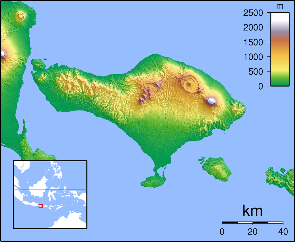
O Monte Agung (em indonésio: Gunung Adung) é um estratovulcão localizado no leste da ilha de Bali, na Indonésia. É o ponto mais alto da ilha, e possui 3142 metros de altitude. A sua última grande erupção foi no ano de 1963, quando os fluxos piroclásticos (nuvens ardentes) mataram milhares de pessoas. Durante essa erupção, o Agung expeliu cinza a uma altura de vinte quilómetros, permanecendo activo por um ano. A lava expelida deslocou-se 7,5 quilómetros, e as cinzas chegaram a Jacarta, a cerca de mil quilómetros de distância.
in Wikipédia
The eruption of 1963 was one of the largest and most devastating eruptions in Indonesia's history.
On February 18, 1963, local residents heard loud explosions and saw
clouds rising from the crater of Mount Agung. On February 24, lava
began flowing down the northern slope of the mountain, eventually
traveling 7 km in the next 20 days. On March 17, the volcano erupted (VEI 5), sending debris 8 to 10 km into the air and generating massive pyroclastic flows. These flows devastated numerous villages, killing an estimated 1,100–1,500 people. Cold lahars
caused by heavy rainfall after the eruption killed an additional 200. A
second eruption on May 16 led to pyroclastic flows that killed another
200 inhabitants. Minor eruptions and flows followed and lasted almost a
year.
The lava flows missed, sometimes by mere yards, the Mother Temple of Besakih. The saving of the temple is regarded by Balinese
as miraculous and a signal from the gods that they wished to
demonstrate their power but not destroy the monument that the Balinese
had erected.
Andesite was the dominant lava type with some samples mafic enough to be classified as basaltic andesite.
in Wikipédia


Sem comentários:
Enviar um comentário